
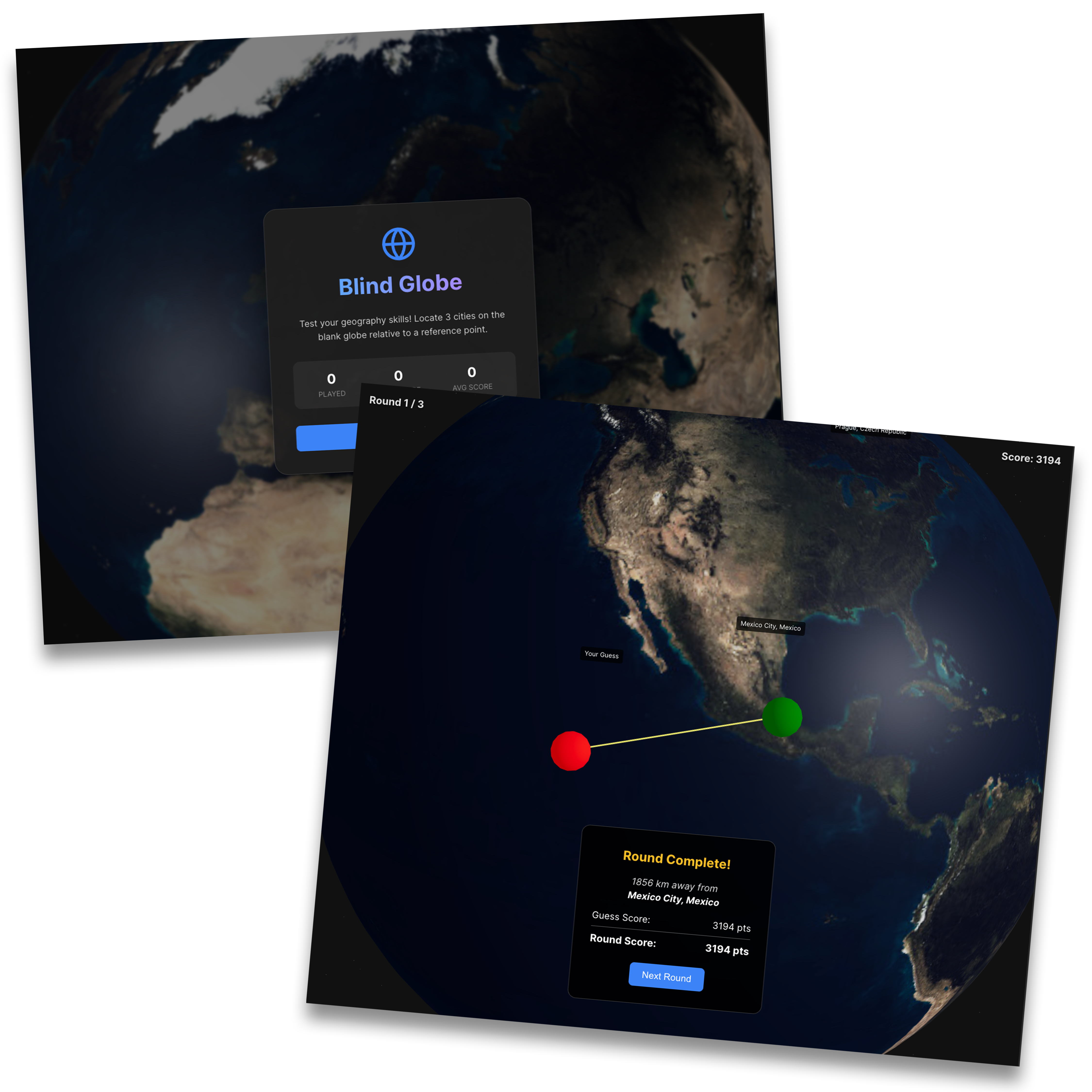
The Idea: Geography Stripped of Context
Popular games like Geoguessr test deductive reasoning using roadside clues, utility poles, and street signage. But how well do people truly understand the geometry and landmass shapes of planet Earth without political borders, nation labels, or map grids?
I created BlindGlobe as an experiment in spatial intuition. Players are given a target city, landmark, or territory (e.g. "Reykjavik", "Madagascar", "Mount Everest") and presented with a blank, spinning 3D sphere showing only topological land contours. They must rotate, zoom, and drop a pinpoint pin onto the exact location.
WebGL & Mathematics Architecture
Executing this without heavy game engine runtimes required custom 3D mathematics and shaders:
Spherical Coordinate Conversion
Implemented bidirectional transformations between UV texture space, Latitude/Longitude coordinates, and Cartesian 3D unit vectors (X, Y, Z).
Precise Great-Circle Raycasting
Calculated player accuracy using the Haversine formula, drawing animated great-circle geodesic arcs from the user’s guess to the true coordinate target.
Atmospheric Glow & Custom Shaders
Authored a custom GLSL fragment shader creating a subtle Fresnel atmospheric limb effect around the planet perimeter, giving it cinematic visual depth.
Mobile Touch Physics & Momentum
Engineered inertial touch dampening and pinch-to-zoom controls so the globe feels physical and natural under fingers on mobile screens.
Daily Challenge & Virality
To turn a fun tech demo into a sticky habit, I introduced a deterministic daily challenge seeded by universal calendar date (similar to Wordle). Players receive 5 curated targets every 24 hours, earn a composite distance score (in kilometers or miles), and generate a spoiler-free emoji summary grid to share with friends.